During the infancy of the United States, survey markers were placed along the coast to serve as the baseline for future property subdivisions. Unfortunately, most of these original markers were lost or removed as property was developed. Two of these boundary markers or baseline markers continue to exist on the Outer Banks. Here is some information on two known markers.
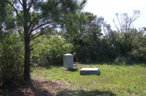
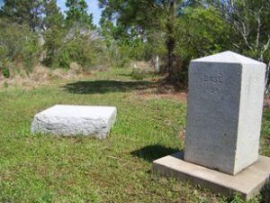
Nags Head
A few years ago, one of these original baseline markers was rediscovered in Nags Head. This marker is the oldest remaining marker along the entire Atlantic coast!

As of this writing, the National Park Service does not have the trail marked to this historical site. Because of its historical value, they have left it unmarked. The people who man the visitor’s center at Whalebone Junction can point to the quarter mile trail or contact Scott Team Realty for specific directions.
Corolla
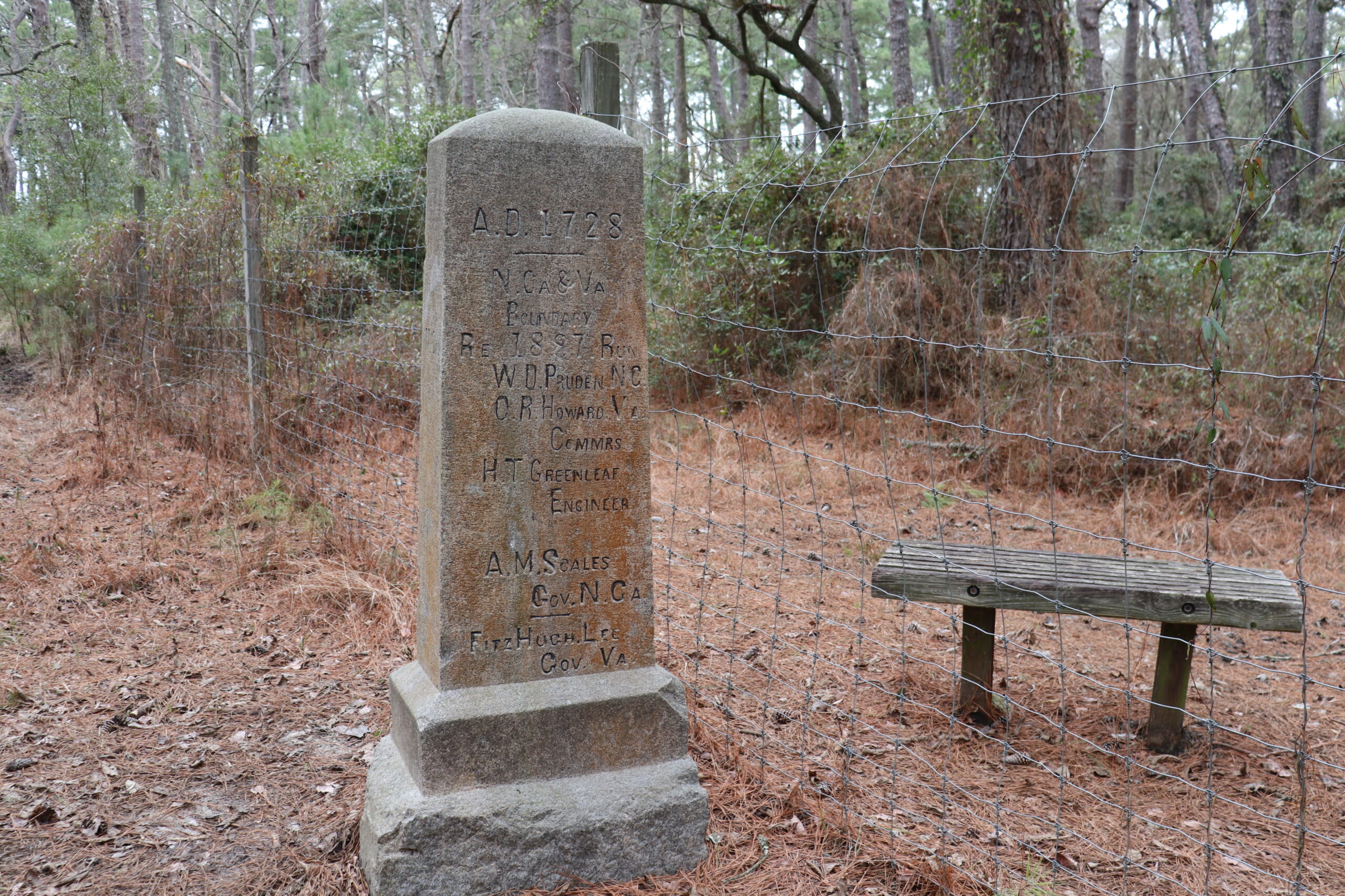
 This marker is located on the boundary between Virginia and North Carolina. If you are on the Outer Banks, then you’ll have to drive on the beach about twelve miles to get to this location. You’ll find this marker about six tenths of a mile from the beach. Despite being back in the woods, you’ll know exactly where the border is because there is a fence separating the two states here. That’s to keep the wild horses in North Carolina.
This marker was placed in this location in 1887. The governors of each state are named on the marker. Also, representatives of each state who were involved with certifying the location are named here.
The easiest way to find this marker is to find the southern entrance to Virginia’s False Cape State Park and follow the trail to the marker. Explore that state park while there. Surprisingly, you’ll find over 10 miles of beach and maritime forest before you get to Sandbridge, Virginia.

